
 Lake Kariba
The lake — A flooded valley
What makes Kariba look like Kariba
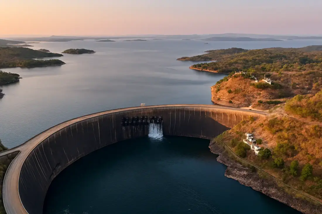
Lake Kariba runs for more than 220 kilometres along the Zambezi, with Zimbabwe on the southern shore and Zambia on the northern. When the dam closed in 1958 and the valley flooded, whole forests drowned where they stood, and their pale trunks still rise from the water along the shore. It is one of the strongest images in the country.
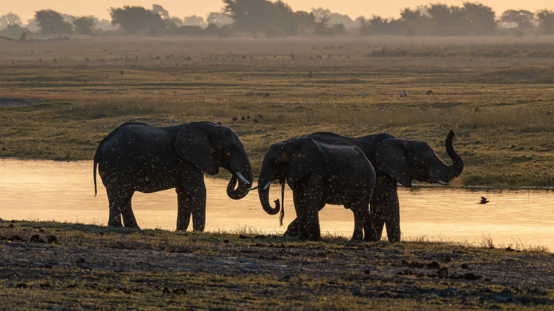
On the Zimbabwe side there is Kariba town and its harbours, Matusadona National Park with its wildlife and drowned forest, Bumi Hills, and the quieter bays further west towards Binga. After dark, the lamps of the kapenta fishing rigs light the lake like a scattered city.